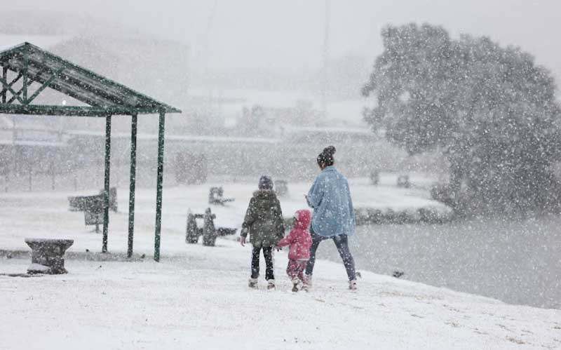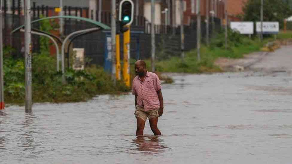
It was a winter wonderland for most parts of South Africa as snow hit various provinces between Friday and Monday morning.
Residents across South Africa took to social media to share images and videos of snowfall or flakes making landfall in their communities.
Gauteng, including Johannesburg, was no exception, with delighted residents sharing snaps of a snow flurry in their areas.
The Eastern Cape transport department has warned drivers to approach the province’s mountain passes with extra caution as snowfalls continue to cause havoc in some of the region's roads.
"Several incidents of vehicles skidding off the road due to snow have been reported. A taxi at the Penhoek pass while a bus has suffered the same fate at the Lootsberg Pass on the N9 between Graaff-Reinet and Middelburg," the department said on Monday.
South Africans last week were warned to brace for a freezing weekend as the the SA weather service last week confirmed a cold front over most parts of the country from Friday until Monday.
On Saturday, the South African Weather Service (Saws) issued another alert for snow, which initially fell in the Western Cape between Friday and Saturday but was expected to "spread eastwards across South Africa over the next few days".
Saws also advised of "cold to very cold temperatures" over most parts of the country over the next few days, "with snow on the high-lying areas.
- Zim headed for a political dead heat in 2023
- Record breaker Mpofu revisits difficult upbringing
- Tendo Electronics eyes Africa after TelOne deal
- Record breaker Mpofu revisits difficult upbringing
Keep Reading
"Further cooling is expected over the western parts of the country tomorrow, spreading to the central and eastern parts during Sunday and Monday, with maximum temperatures expected to stay below 10°C in most places over the interior.
"Snow [that] started falling [on Saturday morning] over the high-lying areas of the Western and Northern Cape is expected to spread to the high-lying areas of the Eastern Cape later today, where it could become disruptive in places. Furthermore, snow will spread to the southern Drakensberg tomorrow, with light snowfall possible along the eastern Highveld and escarpment of Mpumalanga on Monday."
Saws also advised that: "Very cold conditions are expected over parts of Gauteng, Mpumalanga and Limpopo (mainly on Monday, but already over southern Gauteng and the southern Highveld of Mpumalanga on Sunday). Light snowfall is possible over the extreme eastern Highveld regions and the escarpment of Mpumalanga on Monday, where maximum temperatures will be below 7°C."


